Skip to content
Sale!

Garmin GPSMAP 79s Marine Handheld With Worldwide Basemap(010-02635-00)

Original price was: ₹48,000.00.Current price is: ₹42,500.00.

Stay on course, and track more adventures with the GPSMAP® 79s rugged, floating handheld.

SKU: garmin-gpsmap-79s-marine-handheld Category: Tags: ,

CAST OFF CONFIDENTLY
Stay on course, and track more adventures with the GPSMAP® 79s rugged, floating handheld.

  • It’s water-resistant, it floats, and it’s fogproof, so it belongs on the water — just like you.
  • This thing can remember up to 10,000 waypoints and more, so you don’t have to.
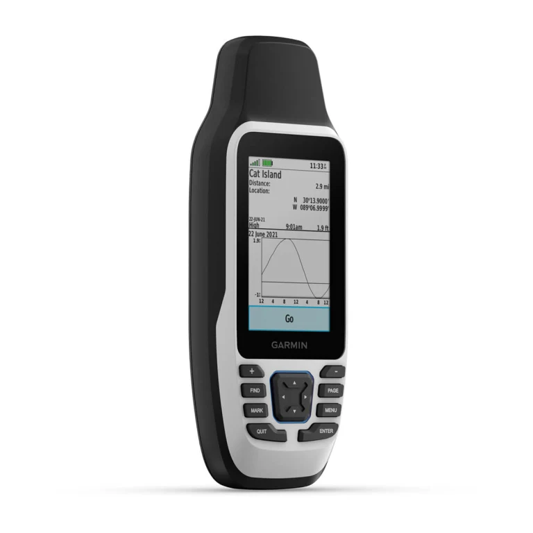
  • It’s nice to have reliable positioning when you’re out on the water.
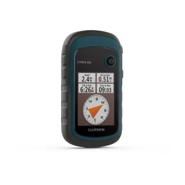
  • The built-in compass will point you in the right direction.
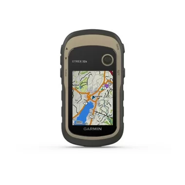
  • Get the best of Garmin and Navionics® data with optional BlueChart® g3 charts.
  • Stay out longer with up to 19 hours of battery life in GPS mode.

Built for life on the boat.
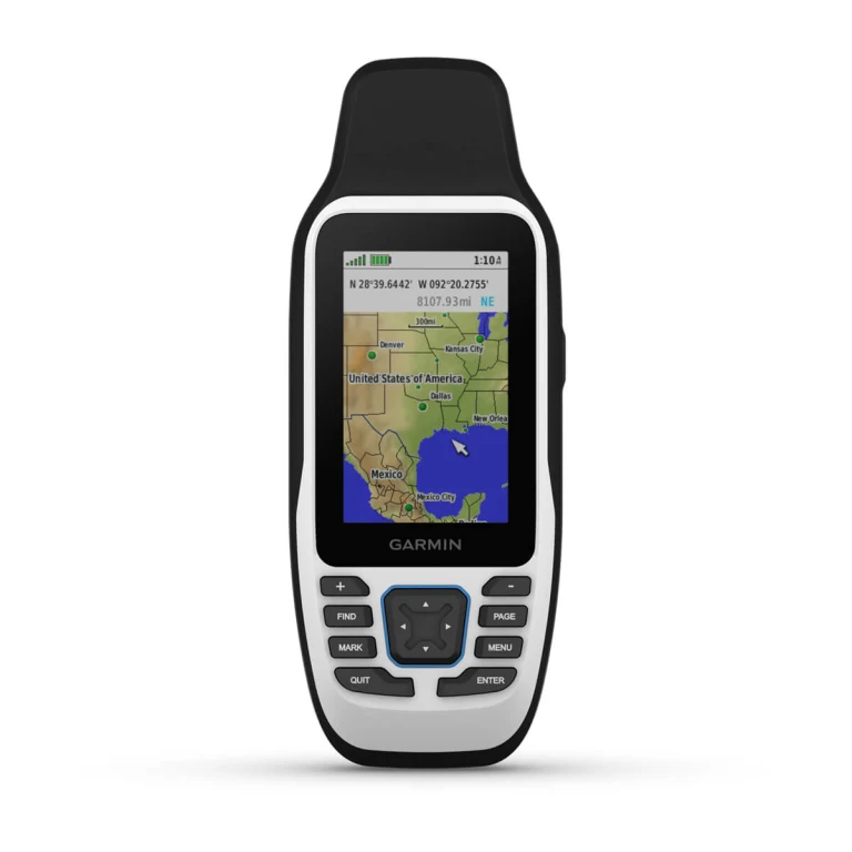
RUGGED HANDHELD
This handheld is water-resistant IPX7 with a high-resolution colour display you can read in the sun. The glass is even scratch-resistant and fogproof.

DESIGNED TO FLOAT
If rough waters come and the handheld goes overboard, don’t worry. This device floats.
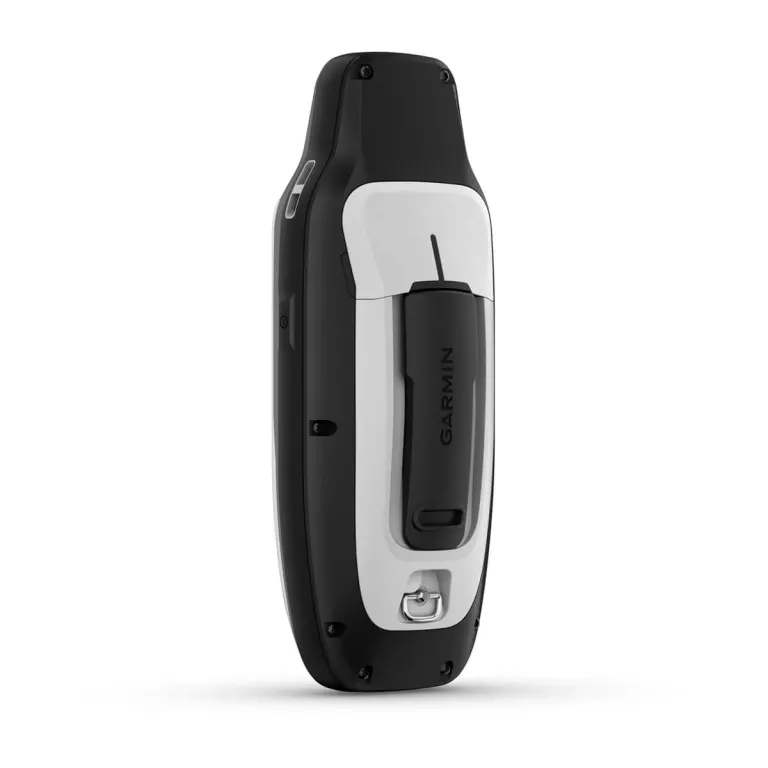
BATTERY LIFE
User-replaceable AA batteries (not included) provide up to 19 hours of battery life in GPS tracking mode.

Specifications

General

Lens materialchemically strengthened glass
Dimension6.77 x 17.40 x 4.23 cm
Weight282g with batteries
Water ratingIPX7
MIL-STD-810Yes (thermal, shock, water); bare unit only
Display TypeTransflective, 65K colour TFT
Display Size3.8 x 6.3 cm; 3″ diag (7.6 cm)
Display Resolution240 x 400 pixels
Battery type2 AA batteries (not included); NiMH or Lithium recommended
Battery lifeUp to 19 hours
Memory/history8 GB
InterfaceHigh speed microUSB and NMEA 0183 compatible

Maps & memory

Preloaded mapsNone
Ability to add maps
Basemap
Automatic routing (turn by turn routing on roads) for outdoor activitiesYes (with optional mapping for detailed roads)
Map segments15,000
Includes detailed hydrographic features (coastlines, lake/river shorelines, wetlands and perennial and seasonal streams)Yes (downloadable from Garmin Express)
Includes searchable points of interests (parks, campgrounds, scenic lookouts and picnic sites)Yes (downloadable from Garmin Express)
Displays national, state and local parks, forests, and wilderness areasYes (downloadable from Garmin Express)
Storage and Power CapacityYes (32 GB max microSD card, not included)
Waypoints/favourites/locations10,000
Tracks250
Navigation Track Log20,000 points, 250 saved gpx tracks, 300 saved fit activities
Navigation Routes250, 250 points per route; 50 points auto routing
Rinex logging

Sensors

GPS
Galileo
QZSS
SBAS
CompassYes (tilt-compensated 3-axis)
High-sensitivity receiver
GPS compass (while moving)

Outdoor recreation

Point-to-point navigation
Area calculation
Fish forecast
Geocaching-friendlyYes (paperless)
Custom maps compatible
Picture viewer

Security Information

Security updates until at least (YYYY-MM-DD)2023-10-26
Call Now Button